The Mailman Who Mapped America Before the Traffic Engineers Did
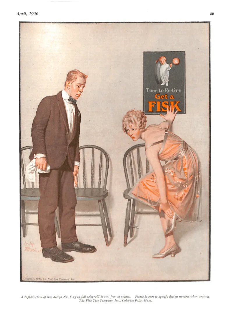
Photo: Fisk Tire Company, Public domain, via Wikimedia Commons
City planners today have access to tools that would seem like science fiction to earlier generations: satellite imaging, real-time GPS tracking, machine learning models that predict traffic behavior before a single car moves. They can watch how a city breathes — rush hour expanding and contracting, bottlenecks forming and dissolving — with extraordinary precision.
But before any of that existed, before traffic engineering was even a recognized profession, someone had to figure out how streets actually functioned. And the first person to do it systematically wasn't an engineer or an urban planner.
He was a mailman.
The Superintendent Who Kept Track of Everything
In the early 1900s, the United States Postal Service was the closest thing America had to a universal urban data collection system. Mail carriers walked or rode every significant street in every city, every single day, in all weather, on fixed schedules. They knew which blocks were fast and which ones weren't. They knew where pedestrians bunched up, where delivery wagons created bottlenecks, where a route that looked short on paper took twice as long in practice.
Most carriers absorbed this knowledge informally and used it to manage their own routes. But a postal superintendent in St. Louis named Walter Edmonson did something different. Starting around 1908, he began requiring his carriers to log not just delivery times but delay events — specific notes on what slowed them down, where, and for how long.
Edmonson wasn't thinking about traffic engineering. He was thinking about mail. His goal was to identify which routes were inefficient so he could reassign carriers, adjust schedules, and cut down on overtime costs. The postal service was under constant pressure to do more with less, and Edmonson was a practical man with a ledger and a problem to solve.
What he created, without intending to, was the first systematic street-level efficiency study of an American city.
What the Logs Actually Showed
After two years of collecting delay reports, Edmonson had something remarkable: a detailed, street-by-street picture of where urban movement broke down and why. His carriers had logged thousands of delay events, and the patterns were unmistakable.
Certain intersections appeared in the logs over and over regardless of time of day. Others only created problems during specific windows — morning delivery rushes, midday commercial traffic, afternoon school dismissals. Some streets that appeared wide and direct on city maps were consistently slower than narrower parallel routes because of delivery wagon parking or streetcar stops that interrupted flow.
Edmonson compiled this into a series of internal reports that he used to restructure his district's delivery routes. The results were measurable: delivery times dropped, overtime costs fell, and carriers reported less physical exhaustion because their routes no longer required them to fight against the grain of the city's natural movement patterns.
He presented his methodology at a national postal conference in 1911. The response from other superintendents was enthusiastic. Within a few years, similar delay-logging systems were operating in Chicago, Philadelphia, and Boston.
When the Engineers Noticed
The postal service's efficiency data caught the attention of a small but growing community of people who were beginning to think seriously about cities and traffic as interconnected systems. The automobile was arriving fast, and it was creating chaos that existing street networks — designed for horses, pedestrians, and streetcars — weren't equipped to handle.
William Phelps Eno, often called the father of traffic safety, was one of the first to recognize that the postal delay logs represented something more than an internal management tool. They were empirical evidence of how streets performed under real conditions — not theoretical models, not engineering estimates, but observed behavior logged by people who walked those streets every day.
Eno incorporated postal route data into his traffic studies in New York and began advocating for systematic street-performance monitoring as a planning tool. His 1909 rules of the road and subsequent work on traffic circles and one-way streets drew on the kind of bottleneck analysis that Edmonson's carriers had been quietly conducting for years.
By the 1920s, as traffic engineering emerged as a formal discipline, the postal route methodology had been absorbed into the broader toolkit of urban analysis. The specific debt to Edmonson was largely forgotten — his contributions never made it into the textbooks — but the logic of his approach persisted.
The Blueprint That Survived Its Creator
The core insight from Edmonson's work was deceptively simple: to understand how a street system works, you have to observe it from the street, repeatedly, over time, under varied conditions. Maps and engineering drawings show you what planners intended. Delay logs show you what actually happens.
This principle — that observed behavior, not designed behavior, should drive infrastructure decisions — is now foundational to traffic engineering. Modern traffic studies use cameras, sensors, and GPS data to do essentially what Edmonson's carriers did with pencils and paper: record where delays happen, how long they last, and what causes them.
The specific streets Edmonson studied are long since transformed. St. Louis in 1908 looks nothing like St. Louis today. But the methodology traveled. It was adapted, refined, and eventually digitized, but the underlying question — where does movement break down, and why? — is the same one a postal superintendent was asking while trying to figure out why his carriers kept coming home late.
An Unlikely Footnote to Urban Planning History
There's something fitting about the fact that the first serious traffic flow analysis in America was conducted by people whose job was to move things efficiently through a city. Mail carriers had a built-in incentive to understand urban movement that no academic researcher or government planner could match: their feet hurt when the route was bad.
Edmonson gave those observations structure and turned them into data. That data helped build the conceptual foundation that city planners and traffic engineers would stand on for the next century.
The next time you sit in traffic and wonder why this particular intersection always backs up, know that someone has almost certainly studied it — and that the tradition of studying it goes back further than you'd think, to a man with a ledger and a district full of overworked mail carriers who just wanted to get home on time.