There's a white stripe running down the center of almost every road in America. You've driven over it ten thousand times. You've used it to judge distances, pass slower cars, and find your lane in a rainstorm. And you've almost certainly never once wondered who put it there — or why it took so long for anyone to think of it.
The answer involves a Michigan county engineer, a dairy truck with a busted valve, and about forty years of federal bureaucracy.
Roads Without Rules
In the early 1900s, American roads were genuinely terrifying places. Not just because cars were unreliable or because paving was patchy — but because nobody had agreed on where, exactly, a car was supposed to go. There were no lane markings. No center lines. No edge lines. Drivers essentially picked a path and committed to it, and when two vehicles approached each other on a narrow country road, the outcome depended entirely on whoever blinked first.
This wasn't seen as an engineering failure. It was just... roads. Horse-drawn traffic had managed without painted lines for centuries, and early automobilists figured they'd work it out the same way. They were wrong. As car speeds increased and traffic volumes grew, the absence of any visual guidance became genuinely dangerous. Head-on collisions were common. Night driving was terrifying. Passing another vehicle required a kind of improvised negotiation that didn't always end well.
Somebody needed to draw a line. Literally.
The Man With the Milk Truck Idea
Edward N. Hines was the Wayne County Road Commissioner in Michigan — not exactly a household name, even in Michigan. But in 1911, Hines was driving behind a milk delivery wagon when he noticed something odd. The wagon had a leaking tank, and as it rolled along the road, it left a thin white trail of milk down the center of the pavement. A perfectly straight, perfectly centered line, stretching out behind the wagon like a suggestion.
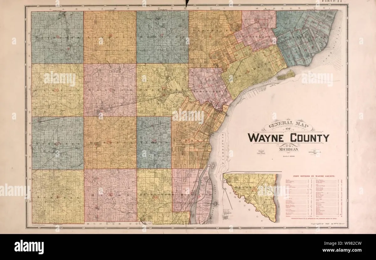 Photo: Wayne County, via c8.alamy.com
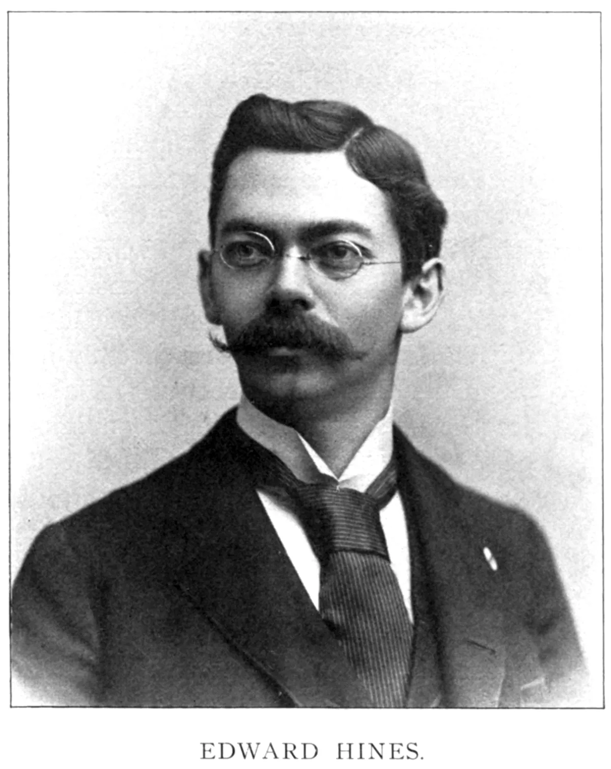 Photo: Edward N. Hines, via chicagology.com
Hines reportedly stared at that white trail and had one of those rare moments where an obvious idea suddenly becomes visible. If a line running down the center of a road could be painted there permanently, drivers would have a reference point. They'd know which side was theirs. They'd be able to judge oncoming traffic. They'd have something to anchor to in the dark.
He ordered the first painted center line in American history to be applied to a stretch of Trenton's River Road in Wayne County later that year. It was simple. It was cheap. And it worked.
Slow Spread, Faster Roads
You'd think a safety innovation this obvious would have spread overnight. It didn't.
Other states began experimenting with center lines through the 1910s and into the 1920s, but there was no coordination, no standard, and no federal authority telling anyone what the lines should look like, what color they should be, or where exactly they should go. Some states painted solid lines. Some painted dashed lines. Some used yellow. Some used white. A driver crossing state lines might encounter an entirely different visual language on the other side of the border.
The problem was that roads, at this point in American history, were almost entirely a local and state matter. The federal government built very few roads directly. It funded states, which funded counties, which made their own decisions. Standardization required agreement, and agreement required someone with the authority to demand it.
That authority arrived slowly. The first serious push for uniform road markings came in the 1920s, when the American Association of State Highway Officials began drafting guidelines. But voluntary guidelines only go so far when every county engineer thinks their system is fine.
The Long Road to Uniformity
The real turning point came with the 1935 Manual on Uniform Traffic Control Devices — a federal document that finally attempted to standardize signs, signals, and pavement markings across the country. It wasn't perfectly adopted overnight, but it gave states a common framework to work from.
Over the following decades, the system evolved. Yellow lines were designated for separating opposing traffic. White lines were used for lanes moving in the same direction. Edge lines appeared to mark the boundaries of the roadway. Dashed lines indicated where passing was permitted. Solid lines indicated where it wasn't.
Each of those decisions was the result of research, debate, and occasional argument. The yellow-versus-white distinction alone took decades to fully settle, and some states held onto their own conventions well into the mid-twentieth century.
The Interstate Highway System, launched in 1956, finally forced true national consistency. When you're building 41,000 miles of new highway from scratch, you get to decide what the markings look like — and those decisions carry across the entire network.
 Photo: Interstate Highway System, via www.shutterstock.com
Why It Still Matters
Edward Hines never became famous for his milk wagon moment. He's occasionally cited in transportation history circles, but he's not a name most Americans would recognize. The innovation he sparked was too quiet, too gradual, and too practical to generate the kind of dramatic story that sticks in the public memory.
But the numbers tell a different story. Traffic safety researchers have repeatedly documented the lifesaving effect of lane markings, particularly edge lines and center lines on rural roads. Studies have shown that adding edge lines to unmarked rural roads can reduce crashes by 25 to 35 percent. On roads where drivers have no visual reference at night or in bad weather, markings are often the only thing keeping traffic organized.
All of that traces back to a leaky tank on a Michigan dairy route in 1911.
The next time you're driving in the rain, headlights cutting through the dark, and you find yourself instinctively tracking the white line at the edge of the road — that's Hines's idea doing exactly what it was always meant to do. He just never got a monument for it.