Coast to Coast on a Wing and a Prayer: The Audacious Con That Became America's First Great Road
In 1913, if you wanted to drive across the United States, you had two options. You could hire a guide, pack enough provisions to survive a small expedition, and accept that you would spend a significant portion of your journey pushing your car through mud. Or you could not go at all, which was what most sensible people chose.
There was no national highway system. There were no consistent road markings. There was no reliable map of anything resembling a cross-country route. What there was, in certain stretches, was a collection of local roads, farm tracks, and city streets that — if you connected them correctly, if the weather cooperated, if your car held together, and if you were willing to ask a lot of strangers for directions — might eventually deliver you to the other coast.
Into this chaos walked Carl Fisher, a man who had made a fortune selling headlights and building the Indianapolis Motor Speedway, and who had the particular brand of ambition that doesn't recognize impossibility as a reason to slow down.
The Pitch That Changed Everything
Fisher's idea, announced to a group of automotive industry figures at a dinner in Indianapolis in 1912, was simple in concept and staggering in scope: build a paved road from New York City to San Francisco. Not a government project, not a public works initiative — a privately funded, industry-supported highway that would be assembled, promoted, and maintained by the people who stood to profit most from Americans driving more: the car manufacturers, the tire companies, the cement producers.
He called it the Coast-to-Coast Rock Highway. It was later renamed the Lincoln Highway, a patriotic rebrand that gave the project the gravitas its promoters felt it deserved and made it considerably easier to sell to a public still deeply ambivalent about whether automobiles were a fad or the future.
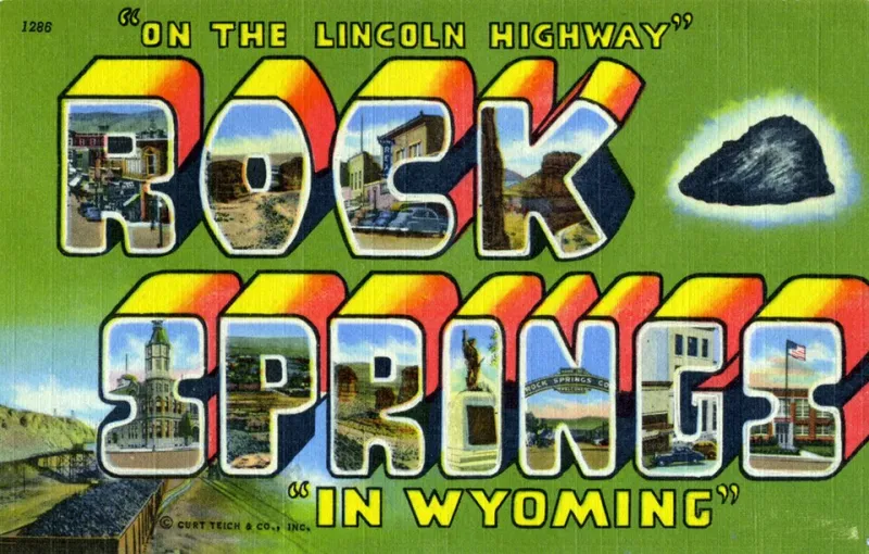
The Lincoln Highway Association was formally incorporated in 1913, with Fisher as its driving force and Henry Joy of Packard Motor Car Company as its first president. The route they mapped ran roughly 3,400 miles from Times Square in New York, through Pennsylvania, Ohio, Indiana, Illinois, Iowa, Nebraska, Wyoming, Utah, Nevada, and into San Francisco. It passed through thirteen states and was, in 1913, a work of almost total fiction.
A Road on Paper, Mud in Practice
Here is the thing about the Lincoln Highway in its early years: large sections of it did not exist in any meaningful sense. The Association had designated a route, painted red, white, and blue markers on telephone poles, and published maps showing a continuous line from coast to coast. What those maps did not fully convey was that the line frequently crossed unpaved farm roads, seasonal tracks that became impassable in wet weather, and stretches of open prairie where the "road" was essentially a suggestion.
Drivers who attempted the crossing in the early years left behind accounts that read less like travel diaries and more like survival memoirs. Cars sank to their axles in Nebraska mud. Desert crossings in Nevada and Utah required careful planning and a tolerance for extreme heat. The mountain passes in Wyoming were genuinely treacherous. Completing the journey in under two months was considered an achievement.
And yet people went. They went because the Lincoln Highway Association promoted the route with extraordinary energy, publishing guidebooks, organizing tours, lobbying for improvements, and positioning the drive as a patriotic adventure — a way of seeing and claiming the American continent from behind the wheel. The association understood, intuitively, what would later become a cornerstone of American identity: that the road trip was not just transportation but aspiration.
The Concrete Seedling Miles
One of the Association's more clever tactics was the Seedling Mile program, launched in 1915. Unable to fund complete road improvements across 3,400 miles, the organization instead paid to pave short demonstration stretches — one mile at a time — in key locations. The idea was to show local governments and skeptical communities what a properly surfaced road looked like and felt like to drive on, and to create pressure for them to pave the connecting sections themselves.
It worked, slowly. State by state, county by county, the muddy tracks began to give way to gravel, then to crushed stone, then to concrete. The process took years and was uneven — a driver could go from a smooth concrete surface to a rutted dirt track within a single mile — but the direction of travel was clear. The Lincoln Highway was gradually becoming a real road.
By the early 1920s, the route was substantially more drivable than it had been a decade earlier. Transcontinental driving time had dropped from months to weeks. A young Army officer named Dwight D. Eisenhower drove the route in 1919 as part of a military convoy testing cross-country mobility, and was reportedly appalled by the road conditions he encountered. The experience stayed with him for thirty-five years.
The Road That Planted a Seed
The Lincoln Highway Association disbanded in 1928, handing management of the route to state and federal authorities and declaring its mission essentially complete. By then, the federal government had established a numbered highway system — US 30 ran along much of the Lincoln Highway's path — and the era of privately funded national roads was giving way to public infrastructure.
But the Lincoln Highway had done something that no government program could have achieved in the same way: it had made Americans want to drive across their own country. It had planted the idea — vivid, romantic, slightly reckless — that the continent was something you could cross in a car, that the road was an invitation rather than a challenge.
When Eisenhower signed the Federal Aid Highway Act in 1956 and launched the Interstate System, he cited both his 1919 Lincoln Highway experience and his admiration for the German Autobahn as inspirations. The Interstates eventually absorbed and superseded the old Lincoln Highway route, replacing it with something faster, smoother, and more rational.
But the Interstate was, in a real sense, the Lincoln Highway's child. The paved, navigable, coast-to-coast road that Fisher and his tire-company backers had dreamed up over dinner in Indianapolis — part audacious vision, part promotional scheme, part patriotic mythology — had convinced a nation that driving from one ocean to the other was not just possible but necessary. The Interstates just made it easier to do it at seventy miles an hour.